Finding a reliable water source on a property is not a matter of luck — it is a matter of science. Landowners who rely on guesswork, folklore, or a driller's intuition alone often face a costly outcome: a dry hole, a low-yield well, or water quality issues that surface only after significant money has already been spent. Water Strike approaches groundwater development differently, combining geological analysis, advanced survey technology, and coordinated drilling management to reduce the risk inherent in every water-well project.
This article explains how a data-driven groundwater exploration process works, why coordination between exploration and drilling matters, and what landowners should expect at each stage of developing a dependable water supply.
Why Traditional Water-Well Drilling Carries Risk
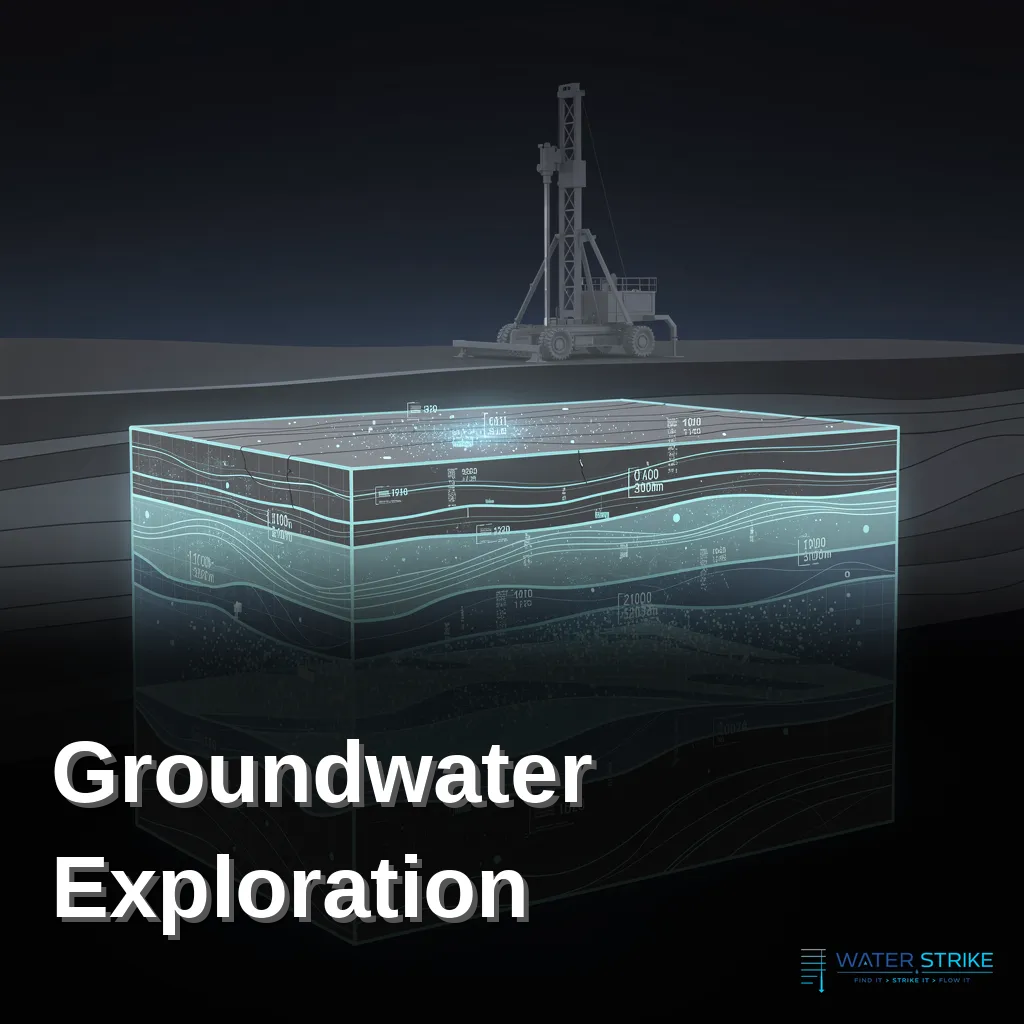
Drilling without a rigorous exploration phase is essentially a gamble. Aquifers are not distributed evenly or predictably across a landscape — they vary in depth, yield, and quality depending on local geology, rock structure, and hydrological history. Without subsurface data, a drilling crew has no reliable way to know where to place a well, how deep to drill, or what flow rate to expect.
The consequences of skipping proper exploration include:
- Dry or low-yield wells that fail to meet a property's water demand
- Wasted drilling costs from wells placed in poor locations
- Water quality problems caused by drilling into contaminated or saline zones
- Delayed project timelines when a well must be abandoned and redrilled
Each of these outcomes is preventable. The key is replacing guesswork with measurable data before the first hole is drilled.
The Science Behind Groundwater Exploration
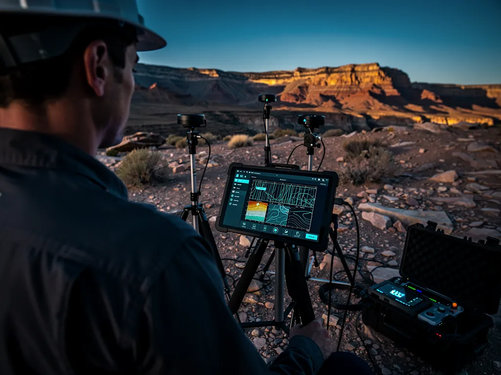
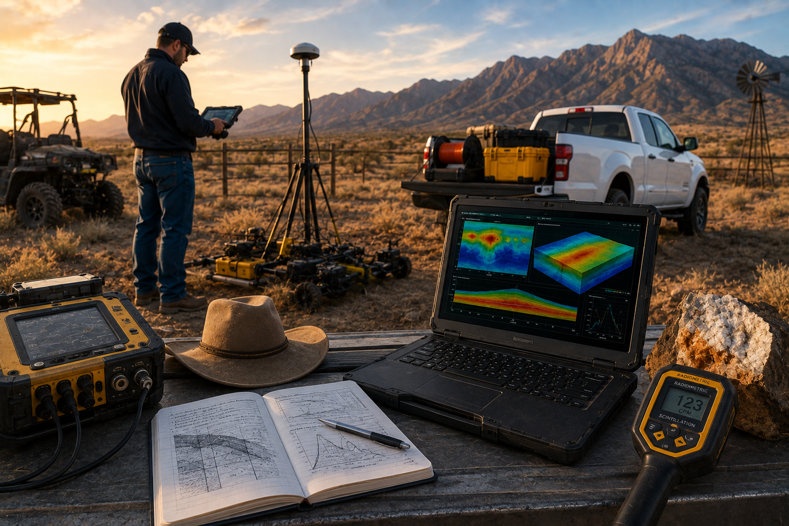
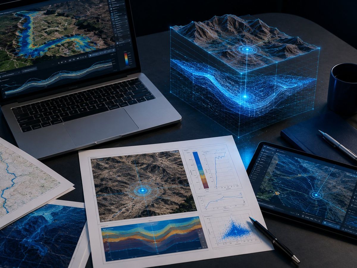
Water Strike's exploration process is built on geophysical survey methods that map what lies beneath the surface before any drilling begins. Rather than relying on surface indicators alone, this approach identifies the depth, structure, and likely yield of water-bearing zones with a level of precision that conventional methods cannot match.
Key elements of a scientifically grounded exploration process include:
- Geological assessment of the site's rock formations and structural features
- Geophysical surveying to detect subsurface water-bearing zones and fracture systems
- Data analysis to determine optimal drilling depth and expected yield
- Site-specific recommendations for well placement based on the collected data
This data-driven foundation allows landowners to make informed decisions before committing to drilling costs, significantly reducing the financial risk associated with water development.
Coordinating Exploration and Drilling as One Process
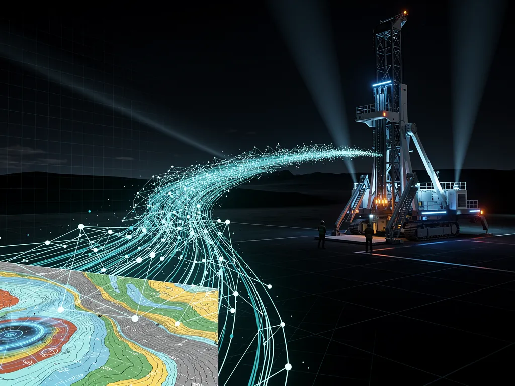
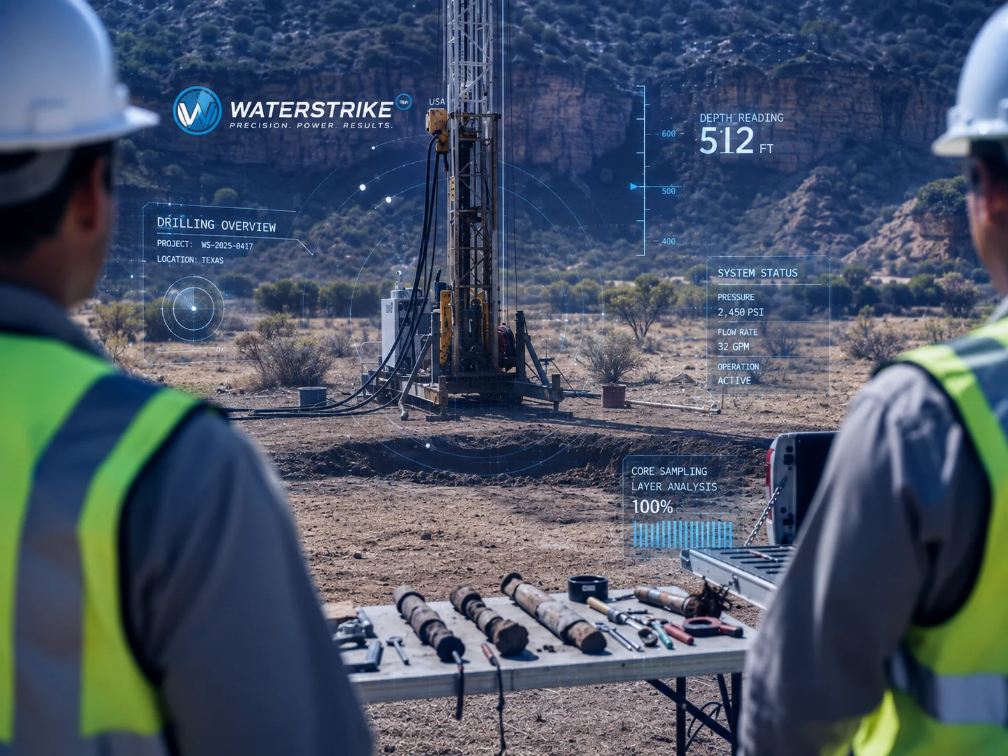
Exploration data is only valuable if it translates directly into drilling action. A disconnect between the survey team and the drilling crew — different companies, different priorities, no shared accountability — is where many water projects lose the benefit of good data. Water Strike coordinates both phases as a single, managed process, ensuring that:
- Drilling targets are selected based directly on survey findings, not convenience
- Drilling crews are briefed on depth expectations, geological conditions, and yield projections
- Any unexpected conditions encountered during drilling are cross-checked against the exploration data in real time
- The landowner has a single point of accountability from initial survey through completed well
This coordinated model closes the gap between identifying where water is likely to be found and successfully accessing it, protecting the landowner's investment at every stage.
Benefits of a Risk-Elimination Approach
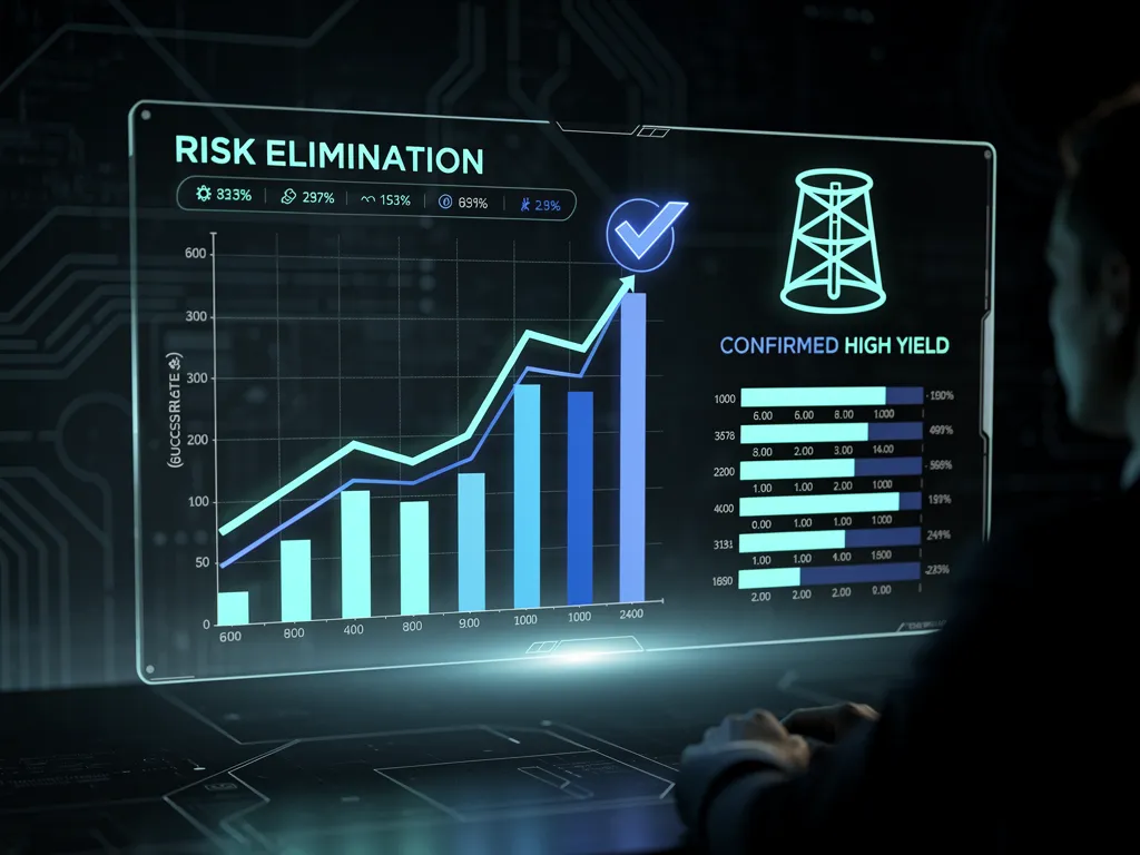
Landowners who invest in a properly coordinated exploration and drilling process gain measurable advantages over conventional drilling methods:
| Approach | Site Selection Basis | Risk of Dry Well | Cost Predictability |
|---|---|---|---|
| Conventional drilling (no survey) | Surface indicators, local practice | High | Low |
| Exploration-only, separate driller | Subsurface data, but disconnected execution | Moderate | Moderate |
| Water Strike coordinated process | Subsurface data directly informing drilling | Low | High |
By grounding every drilling decision in verified subsurface data, this approach delivers a higher probability of successful, high-yield wells and more predictable project budgets.
What Landowners Should Expect
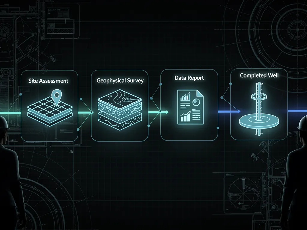
A well-managed groundwater project moves through clear, sequential stages: an initial site assessment, geophysical survey and data analysis, a formal recommendation on well placement and depth, and coordinated drilling through to well completion. Throughout the process, landowners receive data-backed explanations for each recommendation, rather than unverified assurances — a distinction that matters when significant capital is on the line.
Frequently Asked Questions
How is groundwater exploration different from traditional well drilling?
Traditional drilling often relies on surface indicators or local practice to choose a well site. Groundwater exploration uses geophysical surveys and geological analysis to map subsurface water-bearing zones before drilling begins, so the drilling location is chosen based on verified data rather than guesswork.
Can geophysical surveys really predict where water will be found?
Geophysical surveys cannot guarantee a specific outcome, but they significantly narrow the uncertainty by identifying the depth, structure, and likely yield of water-bearing zones beneath a property. This data-driven approach reduces the risk of drilling a dry or low-yield well compared to methods with no subsurface assessment.
Why does coordinating exploration and drilling matter?
When the exploration team and the drilling crew operate separately, valuable survey data can fail to translate into an accurate drilling plan. Coordinating both phases as one managed process ensures drilling targets are selected directly from survey findings and that any unexpected conditions are cross-checked against the data in real time.
What can a landowner expect during a groundwater project?
A well-managed project moves through an initial site assessment, geophysical survey and data analysis, a formal recommendation on well placement and depth, and coordinated drilling through to well completion, with data-backed explanations provided at each stage.
Does a scientific exploration process reduce drilling costs?
Yes. By identifying the optimal drilling location and depth before work begins, a coordinated exploration and drilling process avoids the wasted costs associated with poorly placed or redrilled wells, resulting in more predictable project budgets.