Groundwater Analysis Techniques for Well Placement

Sustainable well placement relies on hydrogeophysical mapping, passive seismic surveys, and gamma scintillation radiometric analysis to locate groundwater before drilling begins. Water Strike applies these methods to deliver an a notable share+ drill-target success rate, giving ranchers, agricultural producers, and municipal water managers a data-backed alternative to guesswork drilling and costly dry holes.
Why Does Blind Drilling Fail Ranchers?
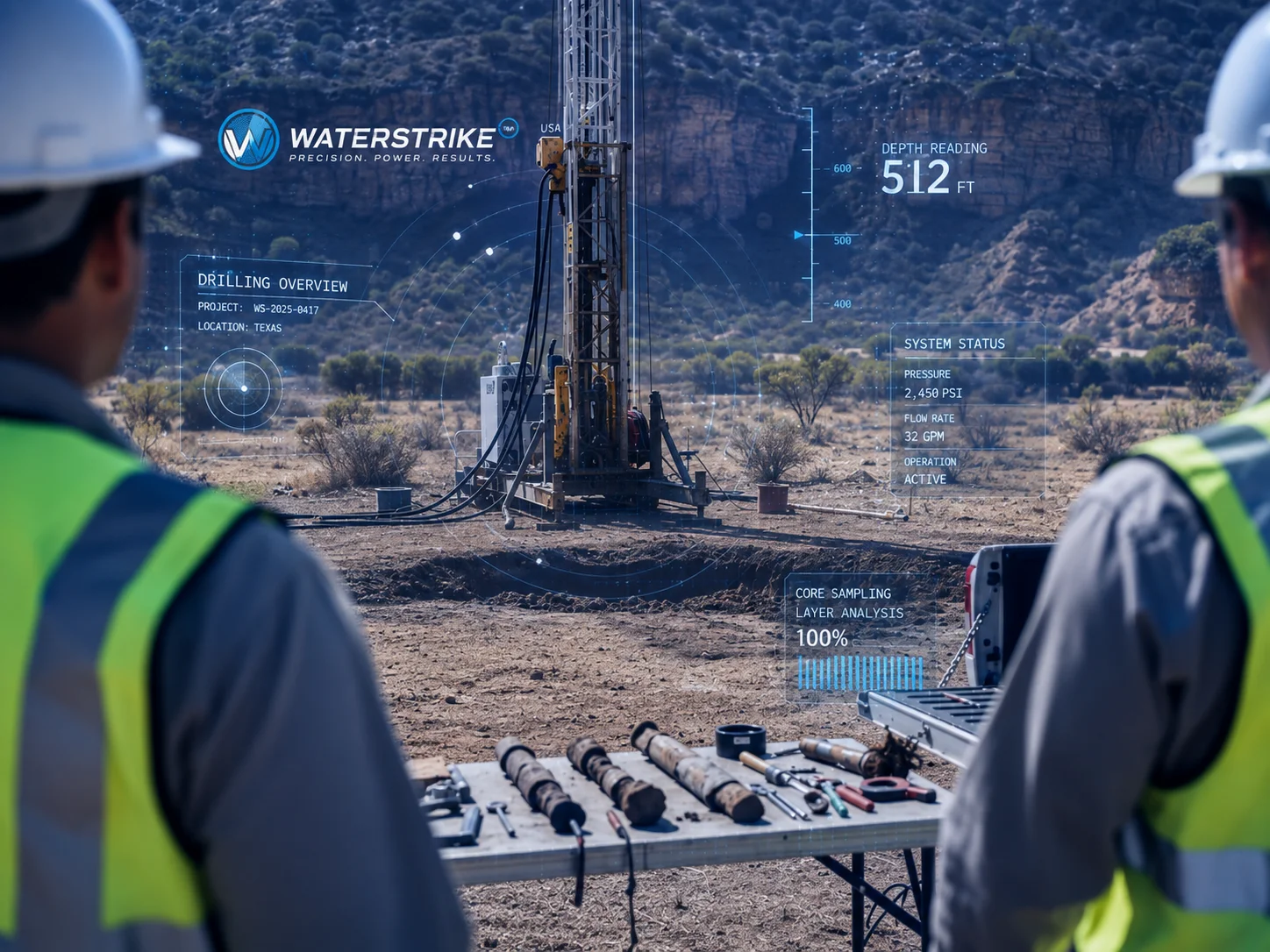
Blind drilling fails because it treats geology as a guess rather than a measurable science. Without groundwater analysis techniques to guide the drill bit, a single dry hole can cost a landowner hundreds of thousands of dollars in wasted equipment, labor, and lost time. Ranchers rarely get a second budget for a second attempt.
The financial damage rarely stays contained to the well itself. Livestock operations depend on consistent water access. When a dry well fails to deliver, cattle either die or get sold off early to protect the herd. That loss compounds for years, since rebuilding a herd takes far longer than drilling a well.
What happens while ranchers wait for a working well?
Many landowners turn to trucked-in water to bridge the gap. That stopgap costs thousands of dollars every month, with no clear end date once the trucking contract starts.
Does the cost stop at agriculture?
No. Golf course operators face the same blind-drilling risk under drought restrictions. Facilities spend tens of thousands of dollars monthly just to keep turf compliant and green.
The pattern repeats across every sector:
- Ranches lose cattle and capital to failed wells
- Farms burn cash on wells that never produce
- Golf operations bleed money to compliance costs instead of fixing the source problem
Guesswork isn't a strategy. It's a recurring bill.

Which Data Methods Locate Water Reliably?
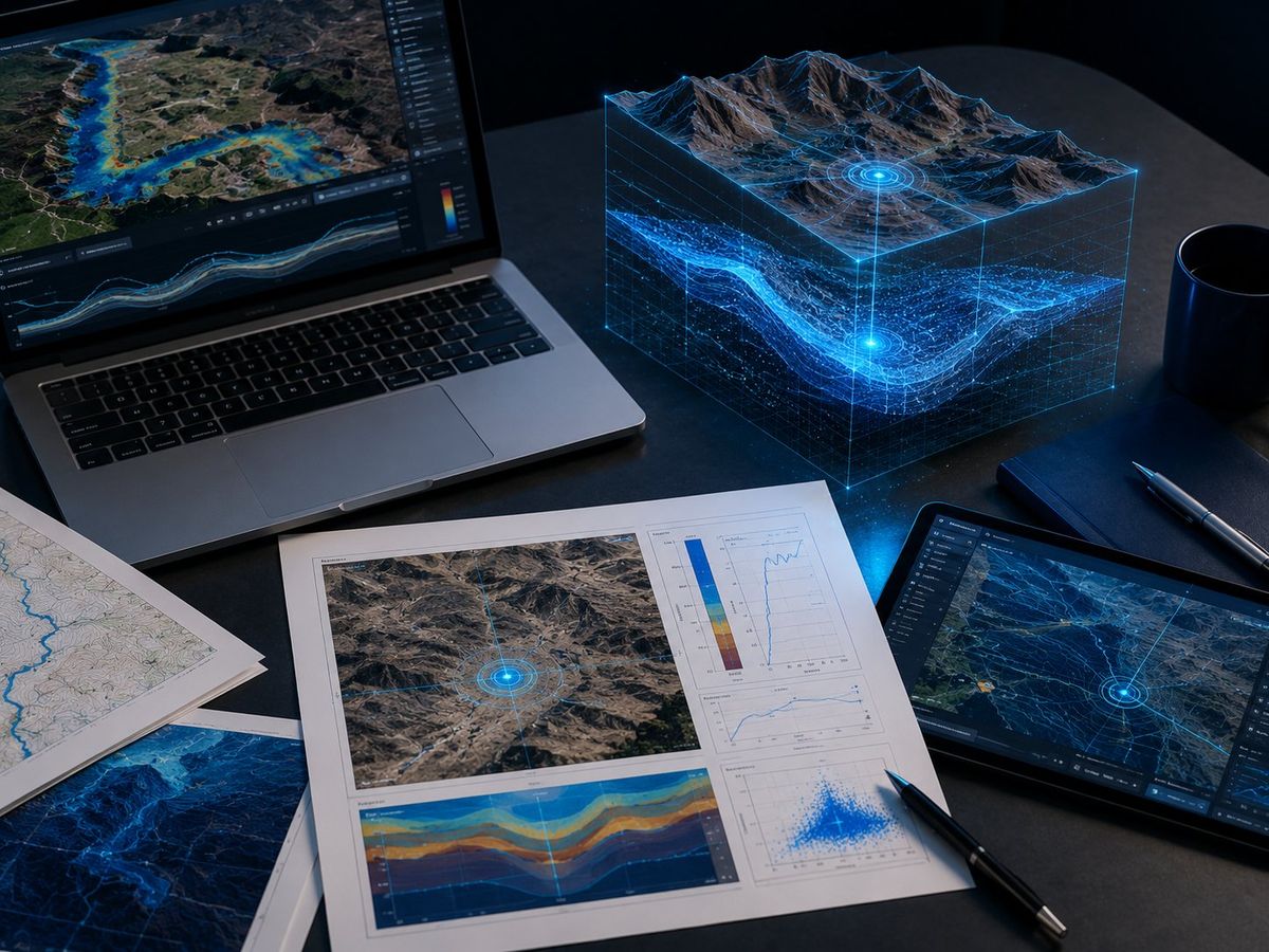
Three technical methods separate confirmed water sources from expensive guesswork: hydrogeophysical mapping, passive seismic surveys, and gamma scintillation radiometric analysis. Together, these Groundwater Analysis Techniques identify high-probability drill targets before equipment ever touches the ground. For ranchers and municipal water managers facing shrinking aquifers, that distinction determines whether a drilling budget produces a working well or a costly hole in the ground.
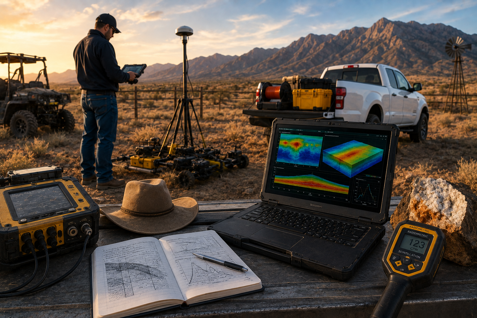
Each method examines a different layer of subsurface evidence. Hydrogeophysical mapping reads rock and soil structure. Passive seismic surveys, sometimes called Resonant Acoustic Profiling, detect underground formations through vibration patterns. Gamma scintillation radiometric analysis measures natural radiation signatures tied to rock composition, helping confirm where water-bearing formations sit.
How does a geophysical survey become a drill-ready plan?
A structured process turns raw survey data into an actionable target. It typically includes:
- A free property assessment to evaluate site conditions
- A desktop water study drawing on historical and hydro-geological records
- An on-site geophysical survey applying the three core methods above
This sequence builds the scientific foundation required before recommending any drill location.
Why does accurate characterization matter for long-term water security?
Groundwater resources demand precise characterization to support sustainable management over decades, not just a single successful well. Municipal systems, irrigation networks, and ranch operations all depend on aquifers that get measured correctly the first time. Combining these analysis techniques produces an a notable share+ drill-target success rate, a stark contrast to the failure rates common in unguided drilling. For landowners, that gap represents avoided dry holes and preserved capital.
How Do You Turn Data Into a Sustainable Well?
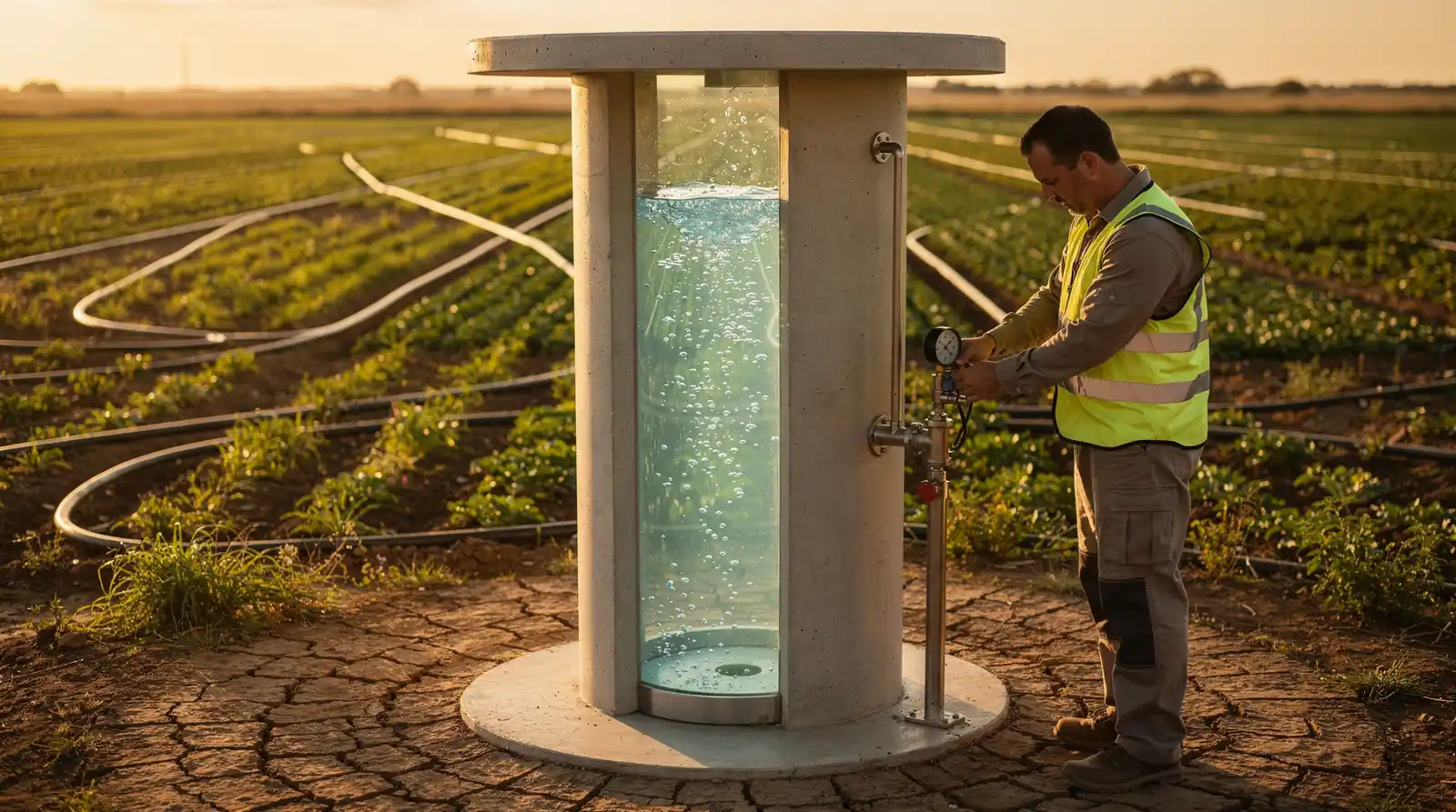
Reliable groundwater access begins long before drilling equipment ever reaches the site. Correct well placement determines the quality of the water supply, its reliability, and the long-term safety and performance of the entire system. Skipping straight to drilling turns a scientific decision into a coin flip.
Water Strike's process converts survey data into a defensible plan, step by step:
- Property assessment and desktop water study, drawing on historical and hydrogeological records.
- On-site groundwater analysis techniques, layering geophysical survey data over the desktop findings.
- Drill-ready Water Location Report, specifying target depth and yield estimates before any driller is contacted.
- Coordination with vetted, licensed drillers who execute against the report's targets.
- Infrastructure support — pumps, tanks, and irrigation systems — once water is confirmed.
What happens after the water is confirmed?
Infrastructure planning starts immediately. Ranchers and municipal managers move from confirmed yield estimates into pump selection, tank sizing, and irrigation buildout without another guessing phase. The report data that located the water also shapes the system built around it.
Why does report accuracy matter more than drilling speed?
A rushed drill without target depth data risks a well that underperforms for decades. Accuracy up front protects both the water quality and the system's operational life.
Groundwater analysis techniques represent the foundation of sustainable well placement, transforming water discovery from speculation into science. By integrating hydrogeophysical mapping, passive seismic surveys, and radiometric analysis, landowners access the data required to make confident drilling decisions. This systematic approach eliminates costly dry holes. Positions communities across the Southwest to secure reliable water sources for generations ahead. Science-backed exploration delivers results where guesswork fails.