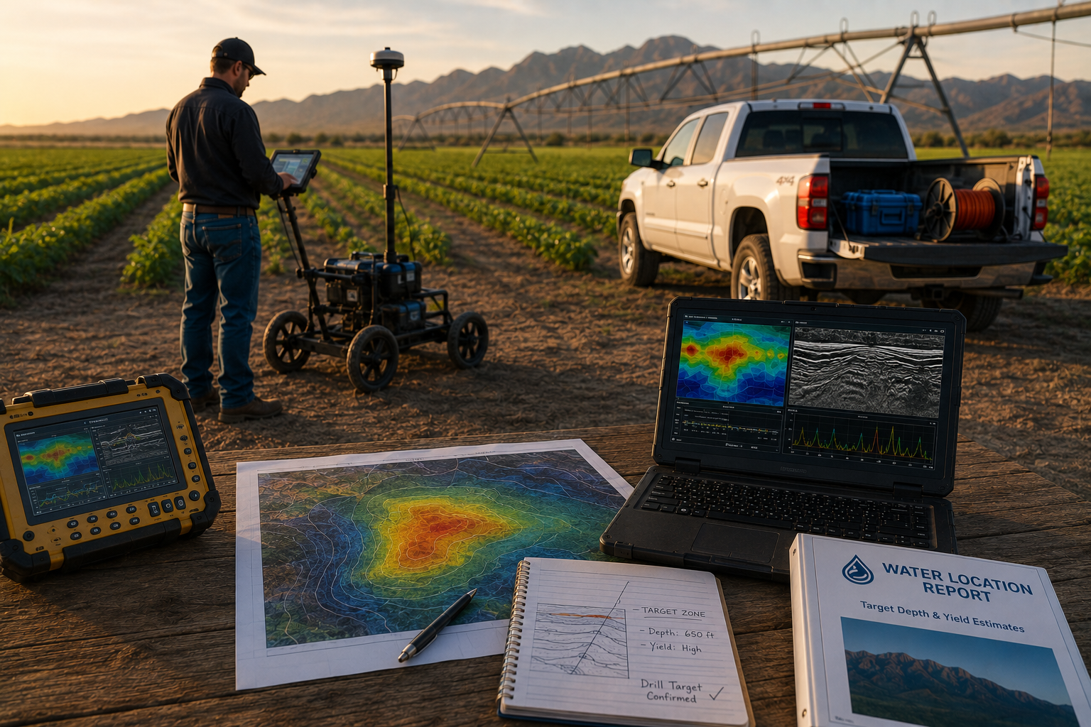
Best Methods for Locating Groundwater on Farms
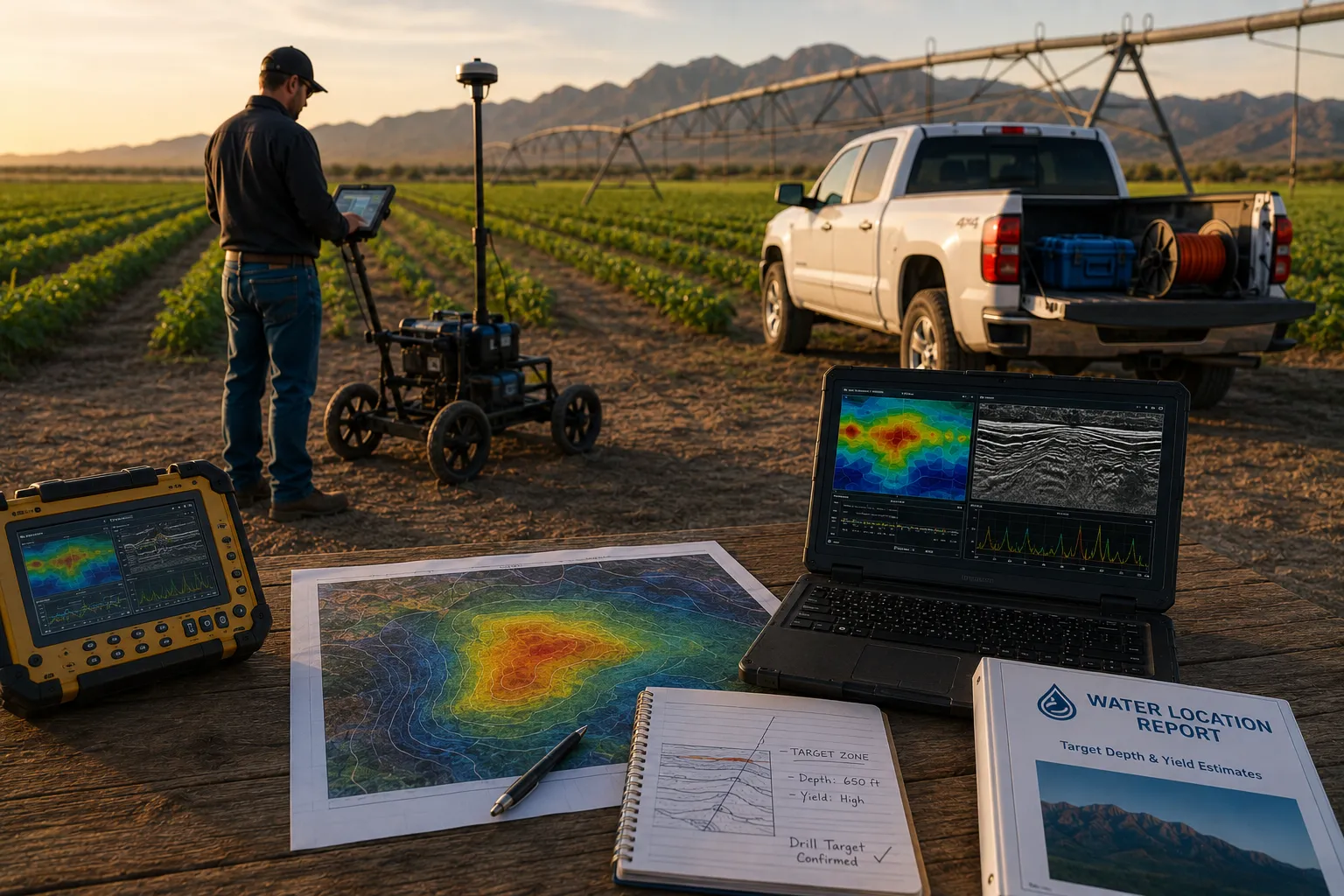
Effective groundwater assessment for agricultural land combines hydrogeophysical mapping, passive seismic surveys called Resonant Acoustic Profiling, and gamma scintillation radiometric analysis to pinpoint drill-ready targets before drilling begins. This integrated method delivers an a notable share+ drill-target success rate, giving ranchers and farmers verified depth and yield estimates instead of costly, unreliable guesswork like divining rods.
Why Does Blind Drilling Fail Ranchers and Farmers?
Blind drilling fails because it substitutes hope for hydrogeological evidence. Western ranchers and farmers face the sharpest edge of the region's water crisis, and many still choose a drill site with no data behind the decision. That gamble carries real financial weight, and it rarely pays off twice.
A single dry hole drilled without scientific basis can cost a landowner hundreds of thousands of dollars. No pump installed, no water delivered — just a hole in the ground and an invoice. Multiply that risk across a working ranch or farm, and the math turns brutal fast.
What happens to livestock operations when wells come up dry?
Cattle operations depend on consistent water access to keep herds alive through Arizona's dry months. When wells fail, ranchers face an ugly choice: sell off cattle or watch them die from inadequate water supply. Neither outcome fits into a sustainable business plan.
Why is trucking in water not a long-term fix?
Hauling water by truck costs thousands of dollars every month, and the expense never stops. It's a stopgap, not a solution — bills keep arriving while the underlying water shortage remains unsolved.
Among the best methods for locating groundwater, one principle stands above the rest: data comes before the drill bit, every time. Landowners who skip that step gamble with money they can't easily replace.
What Are the Best Methods for Locating Groundwater?
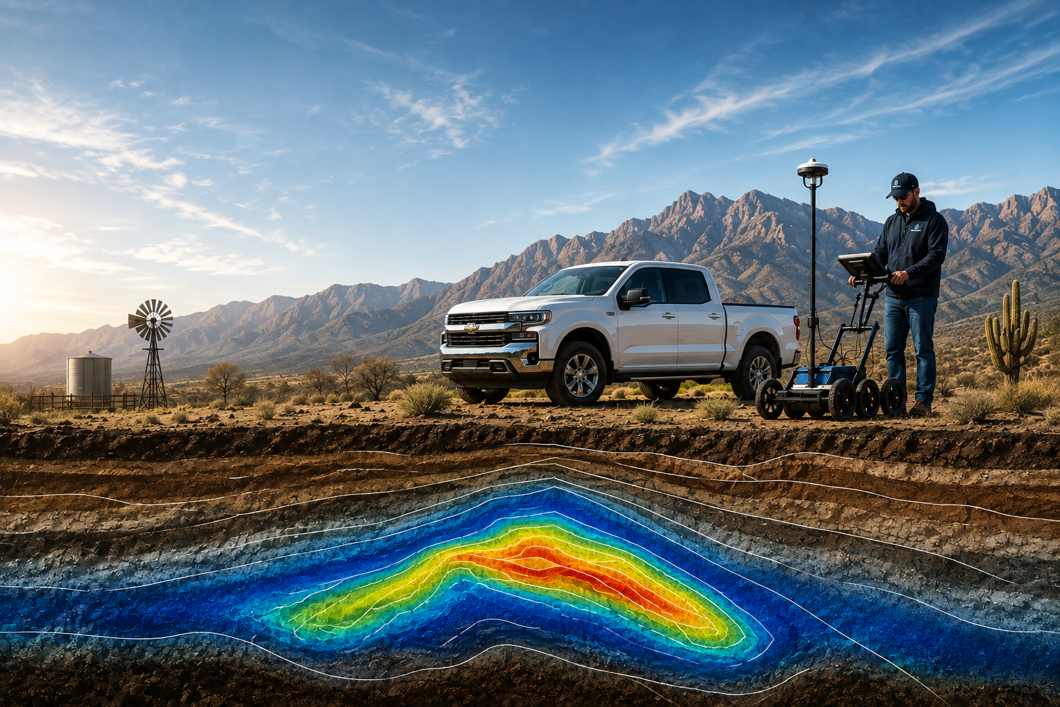
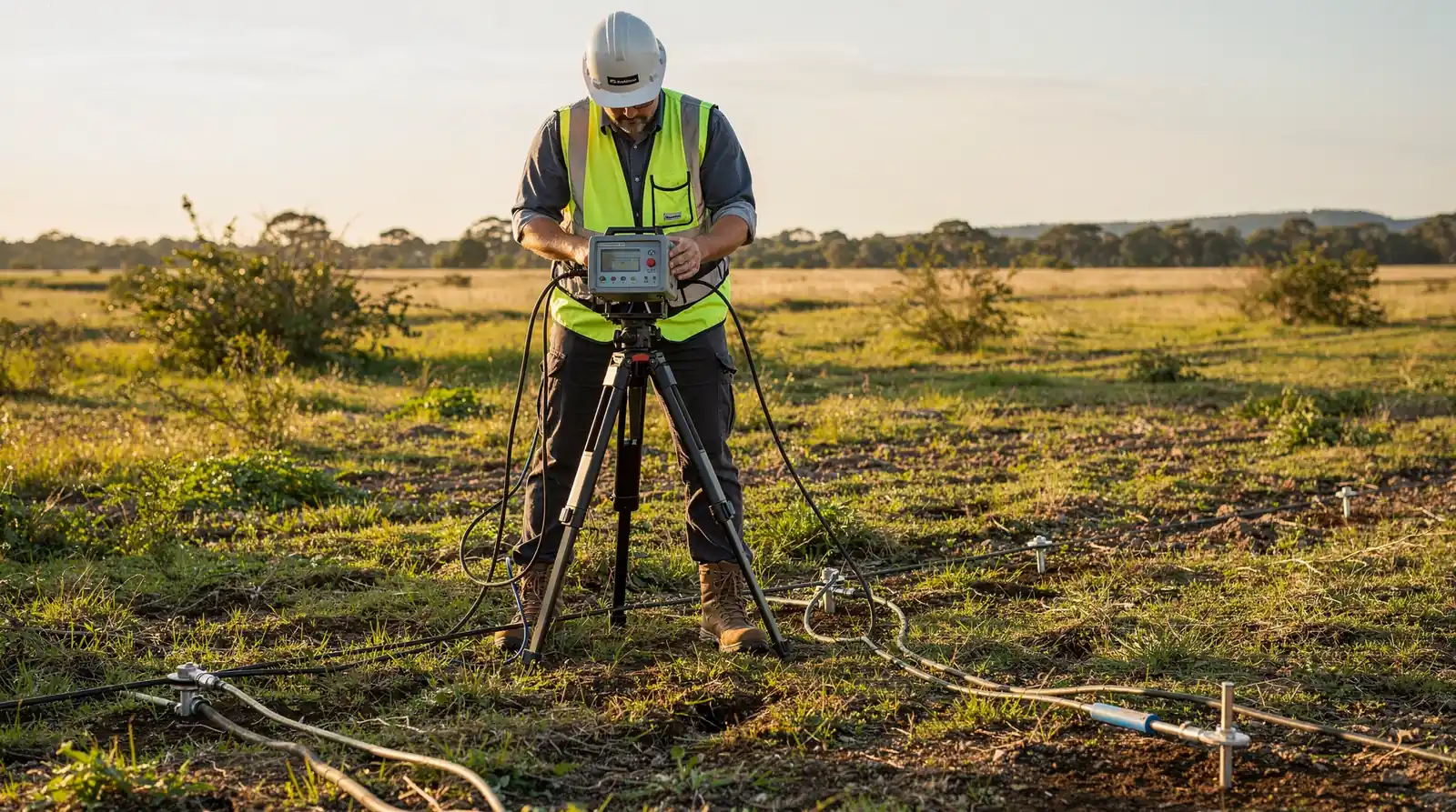
Three technologies stand above blind drilling and divining rods: hydrogeophysical mapping, passive seismic surveys, and gamma scintillation radiometric analysis. Together, these techniques form the best methods for locating groundwater on ranch, farm, and golf course properties. Ranchers who skip this data layer risk sinking savings into a hole that never produces a gallon.
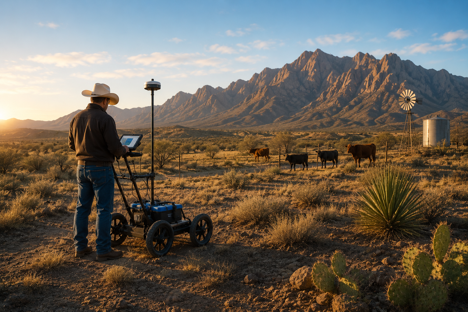
Each method reads the earth differently, which is exactly why combining them works. Hydrogeophysical mapping traces subsurface rock layers and fracture zones where water collects. Passive seismic surveys, sometimes called Resonant Acoustic Profiling, listen to underground vibrations to locate saturated formations. Gamma scintillation radiometric analysis measures natural radiation patterns tied to rock composition, helping confirm what the other two methods suggest.
This layered approach delivers results blind drilling cannot match. A science-based process built on these three techniques reports better than an a notable share drill-target success rate. Compare that to unguided drilling, where landowners often gamble hundreds of thousands of dollars on a single dry hole.
Does mapping technology actually improve well success rates?
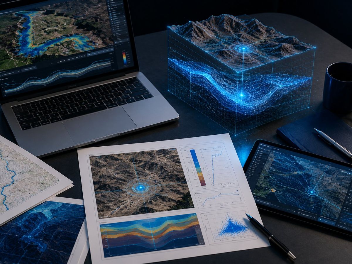
Yes. Remote sensing and geographic information systems, known as GIS, play a documented role in identifying and protecting groundwater resources on agricultural land. Researchers apply these tools alongside multi-influencing factor techniques to map groundwater potential zones across entire farming regions, not just single parcels.
Why not just drill and hope?
Guessing costs more than data ever will. Landowners who drill without geophysical evidence pay for equipment, labor, and casing before learning whether the site holds water at all.
Comparison of groundwater-location approaches:
| Method | What It Measures | Reliability |
|---|---|---|
| Blind drilling | Nothing — trial and error | Low |
| Divining rods | No scientific basis | Unproven |
| Hydrogeophysical + seismic + gamma survey | Rock structure, vibration, radiation signatures | a notable share+ success rate |
How Does a Water Study Protect Your Investment?
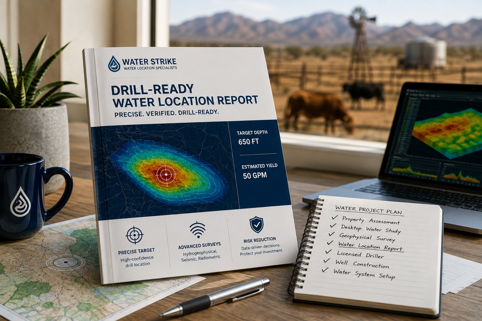
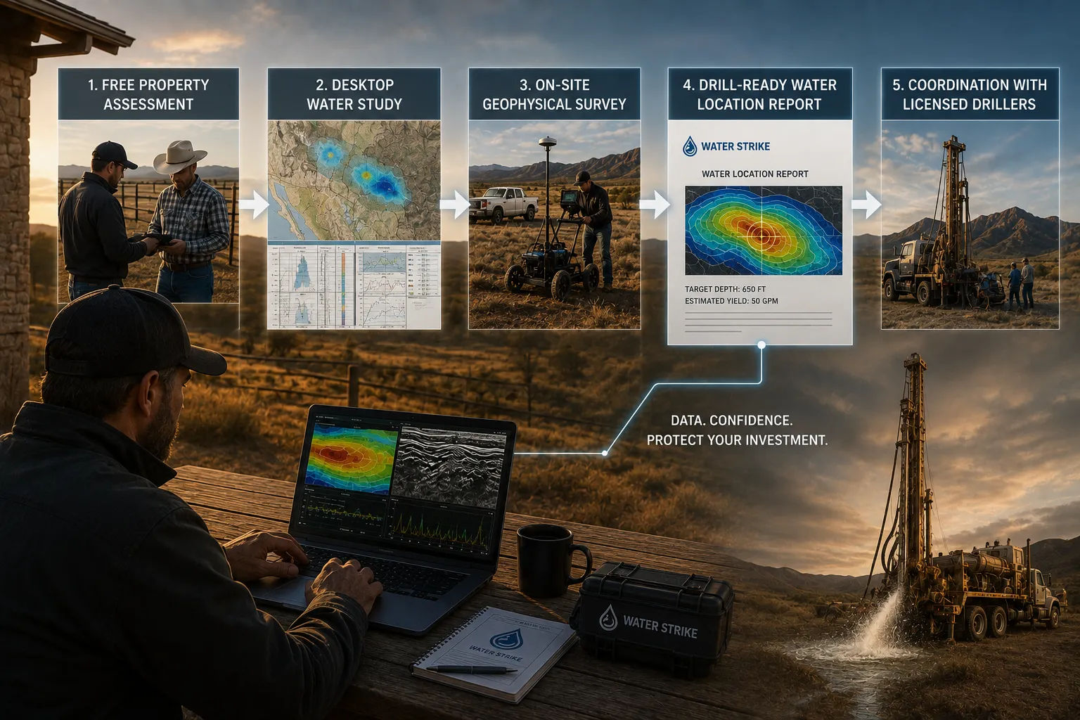
A water study protects capital by replacing blind drilling with a structured evaluation before equipment ever touches the ground. Ranchers and farmers who skip this step risk paying full drilling costs for a hole that produces nothing. Water Strike's process moves from a free property assessment into a desktop study, then an on-site geophysical survey, ending with a drill-ready Water Location Report that states target depth and expected yield. That report becomes the landowner's evidence base before any drill bit turns.
What Exactly Are Landowners Paying For?
Landowners pay for a confirmed location, not for trial-and-error exploration. This shifts the financial risk away from the operator and onto the study itself, before construction costs accumulate.
Does the Support End at the Report?
No. Coordination with vetted, licensed drillers connects the confirmed site to qualified execution in the field. The process also includes:
- Free property assessment
- Desktop water study using historical and geological data
- On-site geophysical survey
- Drill-ready Water Location Report with depth and yield estimates
- Coordination with licensed drillers for the final strike
Groundwater assessment techniques have evolved from speculative methods to rigorous, science-based approaches that deliver measurable results. By integrating hydrogeophysical mapping, passive seismic surveys, and radiometric analysis, landowners gain the data-driven confidence necessary to make informed drilling decisions. This shift from guesswork to geological certainty transforms water access from a financial gamble into a strategic investment, ensuring that every dollar spent on drilling targets high-probability zones backed by comprehensive subsurface analysis.