Drill-ready Water Location Report: Finding Drill-Ready Water
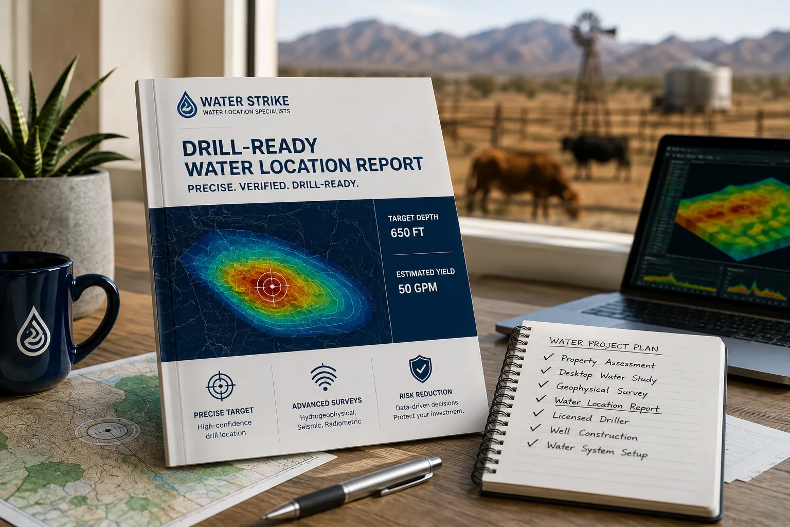
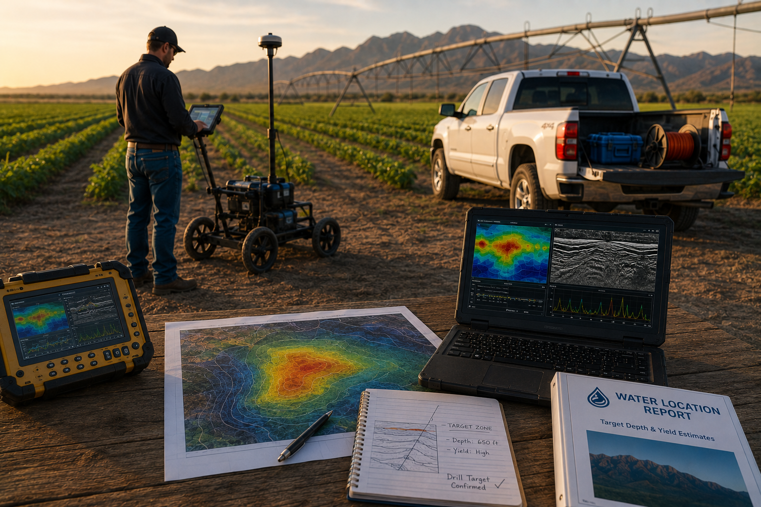
A drill-ready Water Location Report gives Arizona ranchers a precise, science-backed drill target instead of a guess. Water Strike combines hydrogeophysical mapping, Resonant Acoustic Profiling, and gamma scintillation analysis, delivering a notable drill-target success rate. Ranchers receive target depth, yield estimates, and coordination with licensed drillers—turning drought risk into a confirmed water source before committing capital.
Why Are Arizona Ranchers Still Drilling Blind?
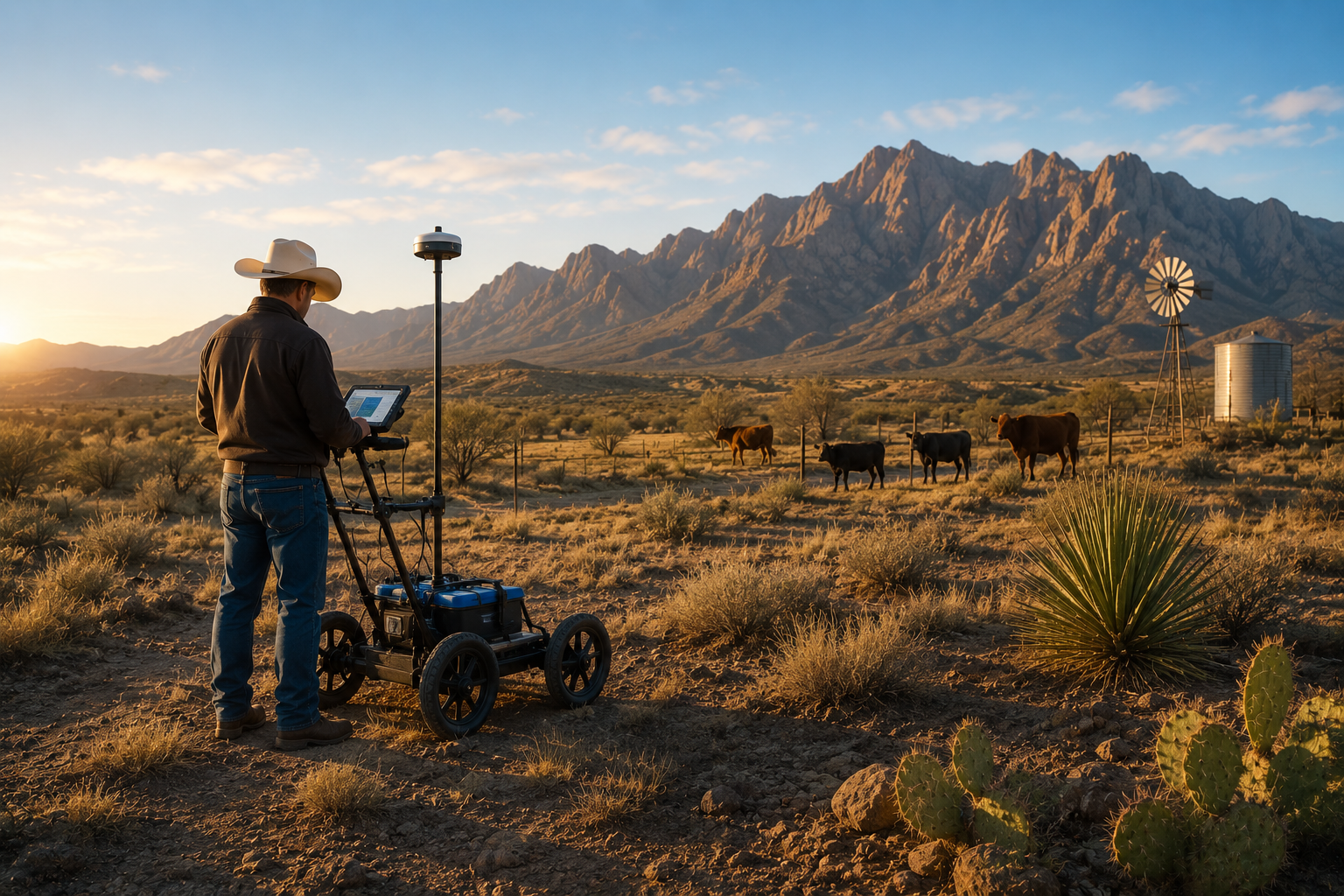
Water scarcity strikes Western ranchers harder than almost any other landowner group. Arizona operations sit at the center of that pressure. Drought cycles keep tightening across the state's grazing land. Reliable groundwater has become the line between a working ranch and a shrinking herd. Despite the stakes, most Arizona landowners still choose a drill site without any geological survey behind the decision.
That gamble carries a steep price tag. A dry well drilled in the wrong location can cost hundreds of thousands of dollars, highlighting the need for a scientific basis in drilling decisions. Livestock operations feel this first. Cattle die or get sold off early when water access turns unreliable, shrinking herds that took generations to build.
Why does well access feel so fragile in Arizona right now?
Legal disputes over groundwater rights have made well access increasingly precarious across the state. Arizona ranchers near the Gila River recently took their case to the Ninth Circuit after a federal judge sealed their wells over disputed pumping claims. Cases like this show that even existing wells can face shutdown, not just new drilling attempts.
A Drill-Ready Water Location Report replaces guesswork with documented geological targets before any rig moves onto the property. Ranchers gain:
- A defined drill site backed by subsurface data
- Depth and yield estimates before spending on equipment
- Documentation that supports water-rights conversations down the road
What Does a Drill-Ready Water Location Report Actually Include?
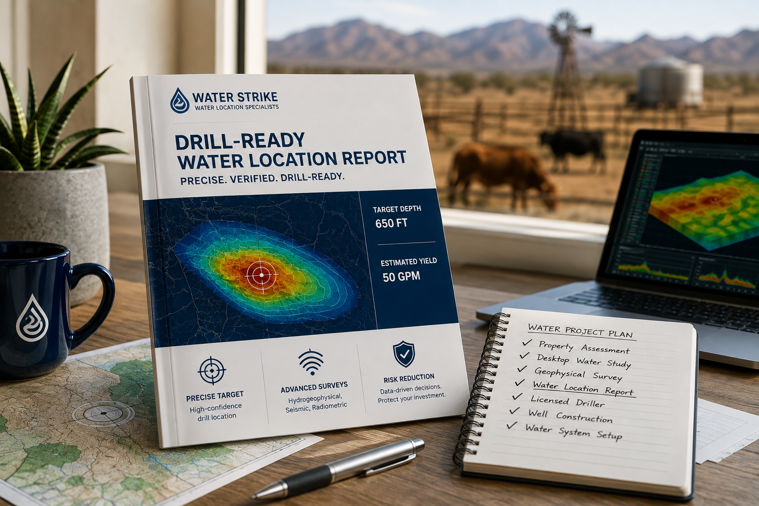
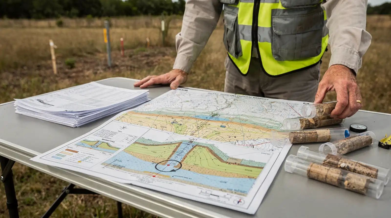
A Drill-Ready Water Location Report delivers a specific drill target, an estimated depth, and a projected yield for a single parcel of Arizona rangeland or farmland. Ranchers in Cochise, La Paz, or Graham County receive this document only after every stage of investigation is complete. Nothing about the recommendation comes from guesswork.
The report caps an end-to-end process. It starts with a free property assessment, followed by a desktop study pulling historical and hydro-geological data specific to the parcel. Field crews then run an on-site geophysical survey before compiling final findings. Each stage narrows the search area until one defensible target remains.
What science determines the drill location?
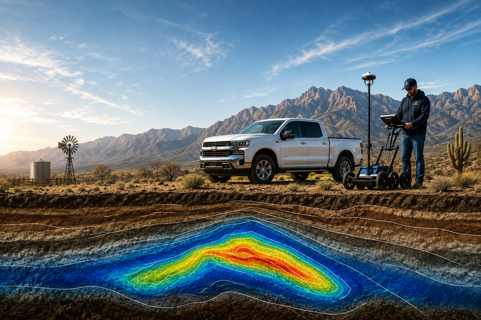
Three technical methods build every report. Hydrogeophysical mapping identifies subsurface rock structures capable of holding water. Passive seismic surveys, known as Resonant Acoustic Profiling, detect underground formations by reading naturally occurring vibrations. Gamma scintillation radiometric analysis adds a third data layer, measuring subsurface radiation patterns tied to geological composition. Layered together, these methods produce a target with genuine scientific backing — not a hunch.
Why does the report matter more than the survey itself?
A survey without a final report leaves ranchers guessing at next steps. The report translates raw data into an actionable number: where to drill, how deep, and what yield to expect. Landowners across Arizona's driest counties pay for that verified location, not for exploration risk. That distinction, backed by a notable drill-target success rate, separates data-driven targeting from blind drilling or divining rods.
How Do You Turn a Report Into a Reliable Well?
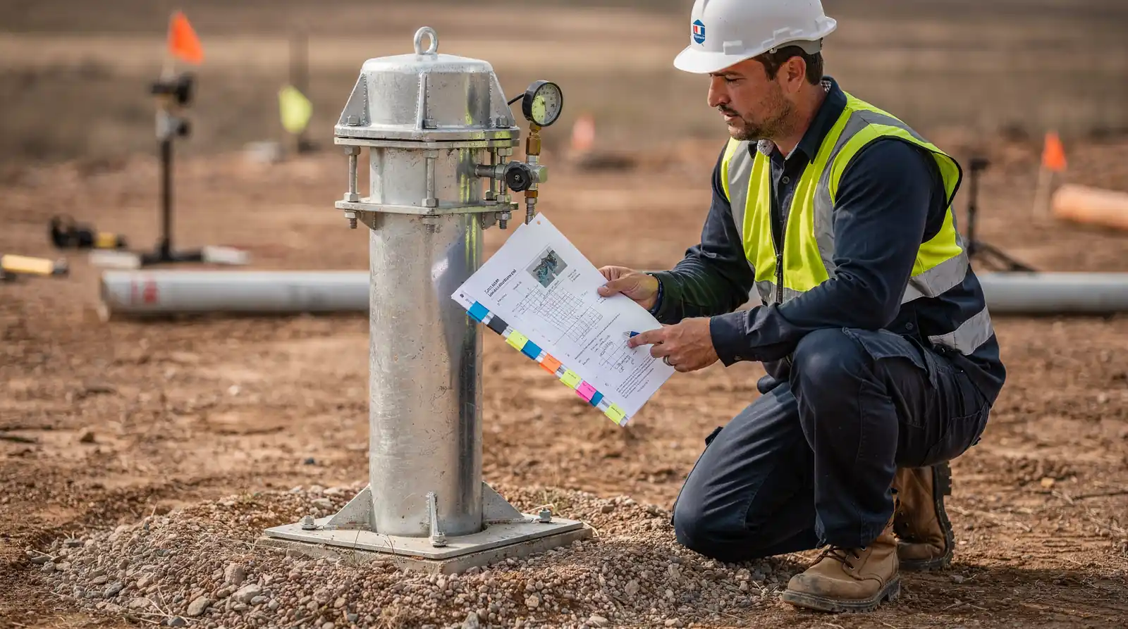
A confirmed target becomes a working well through licensed drilling and proper equipment, not through hope. For Arizona ranchers staring down cracked stock tanks and shrinking herds, the Drill-Ready Water Location Report marks the starting line, not the finish. Know where to drill before drilling — that principle drives every step that follows.
Once a report pinpoints a target, coordination with vetted, licensed drillers begins. Arizona operations, from Duncan-area cattle ranches to high-desert farms near Kingman, need crews familiar with local terrain and permitting rules. Support doesn't stop at the borehole. Infrastructure follow-through — pumps, storage tanks, irrigation lines — turns a confirmed water source into daily-use water on the ranch.
Does the report account for regional water level trends?
Public groundwater platforms, including the Arizona Water Blueprint, compile regional data on shifting water levels across the state. That data helps landowners understand broader aquifer trends beyond a single property line. Combining site-specific geophysics with regional context strengthens confidence before the drill bit ever turns.
Water Strike provides nationwide service coverage as stated in brand sources. Ranchers get a regional partner, not a one-time contractor. That continuity matters when wells need monitoring years down the road.
For Arizona ranchers facing mounting pressure from water scarcity, a drill-ready Water Location Report transforms uncertainty into actionable intelligence. By combining hydrogeophysical mapping, passive seismic surveys, and radiometric analysis, the science-based approach eliminates costly dry-hole drilling and positions landowners to invest with confidence. When water security determines herd viability. Operational survival, data-driven groundwater discovery isn't a luxury—it's the foundation of sustainable ranching across the Southwest.