Groundwater Assessment for Ranchers in Arizona

Effective Groundwater Assessment for Ranchers for Arizona ranchers combines hydrogeophysical mapping, passive seismic surveys, and gamma scintillation radiometric analysis to pinpoint drill targets before spending on drilling. Water Strike applies this science-based method, delivering an a notable share+ drill-target success rate across un-designated basins, replacing guesswork with data-backed decisions for ranchers facing drought-driven water scarcity.
What Do You Need Before Assessing Ranch Groundwater?
Two documents matter most before any survey crew sets foot on Arizona rangeland: property records and a water-use history. A Groundwater Assessment for Ranchers starts with a free property assessment, then moves into a desktop water study built on historical and hydro-geological data specific to the parcel. Ranchers in undesignated basins from Cochise County to the Arizona Strip need this groundwork before committing to field surveys.
Preparation follows a set order:
- Gather deed records, well logs, and existing water rights documentation.
- Request a free property assessment to establish baseline site conditions.
- Review the desktop water study results against historical drought and pumping data.
- Confirm the survey provider carries current licensing and insurance before granting site access.
Why does competition for groundwater matter to ranchers?
Irrigated agriculture already draws roughly 72 percent of Arizona's available water supply. That leaves shrinking margins for livestock operations pulling from the same shared aquifer.
What technology replaces guesswork on the ranch?
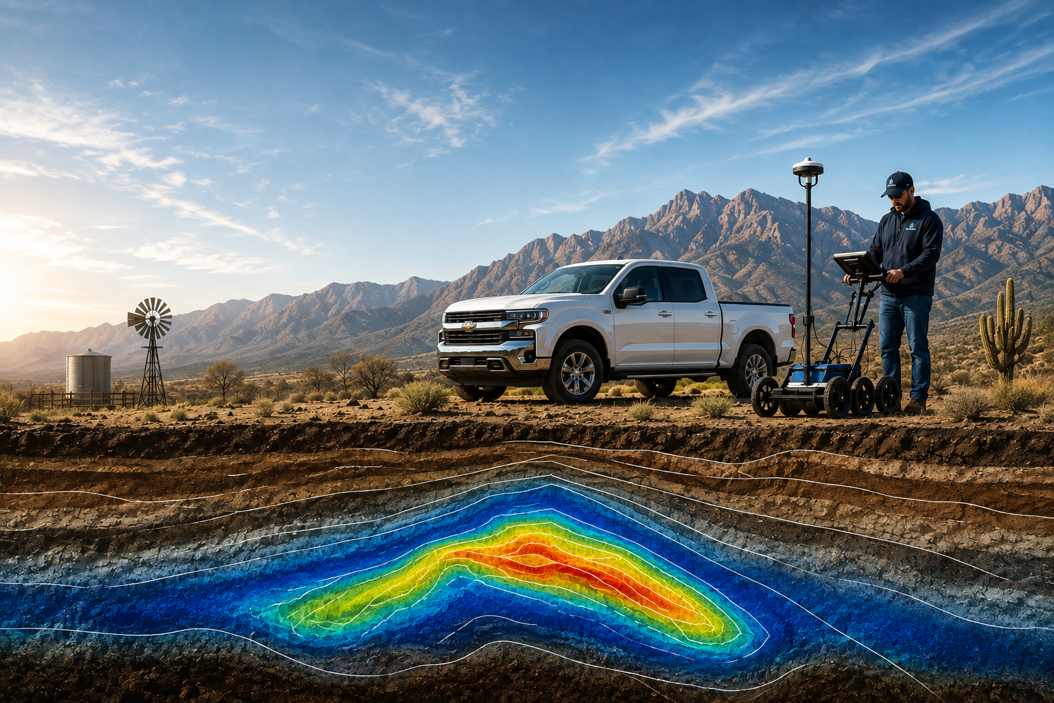
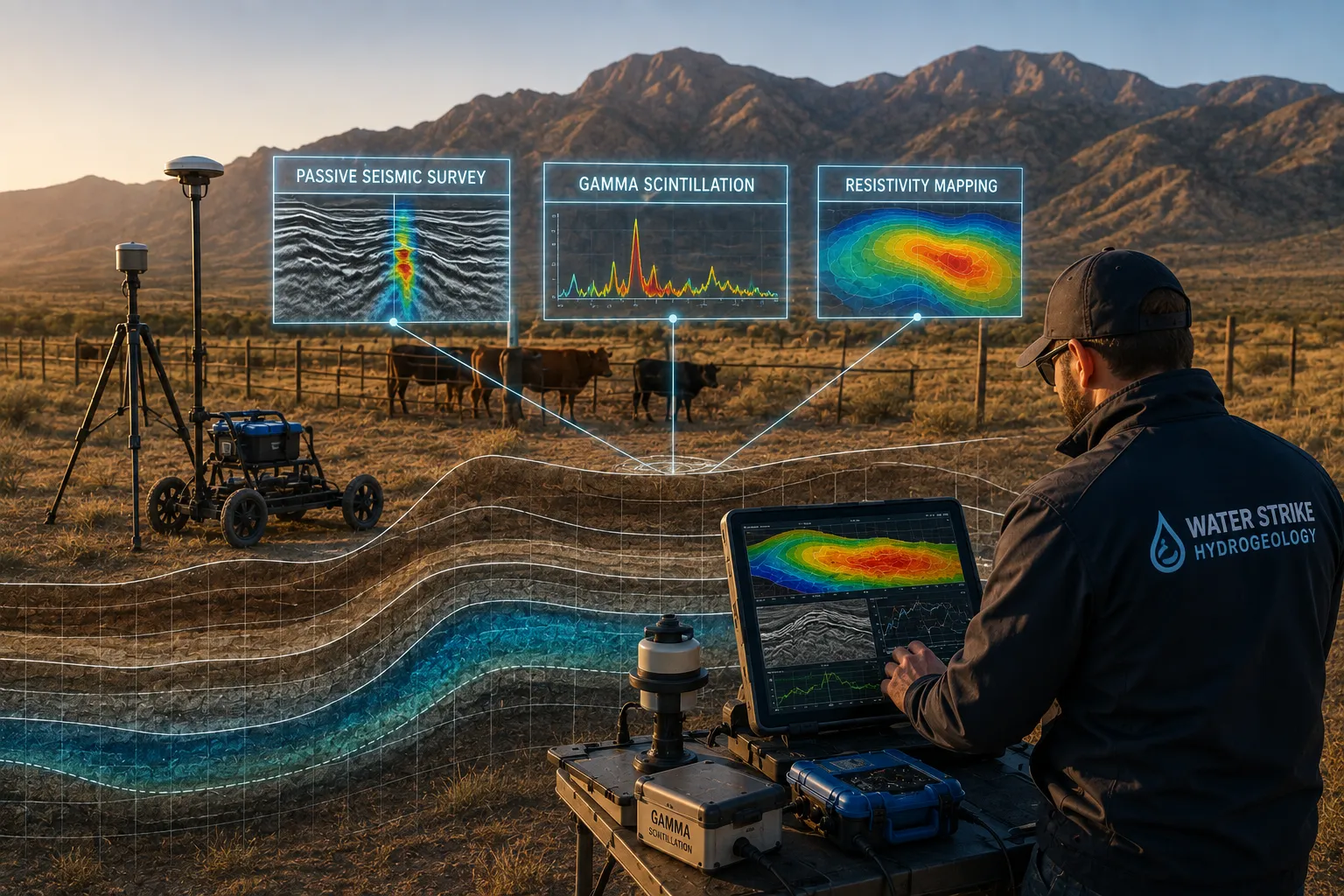
Hydrogeophysical mapping, passive seismic surveys, and gamma scintillation radiometric analysis form the core toolkit. These methods identify subsurface targets with measurable data, not the folklore of a forked stick or a hopeful guess at where to spud a well.
How Do You Run An On-Site Geophysical Survey?
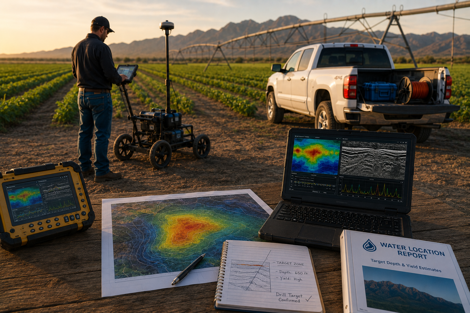
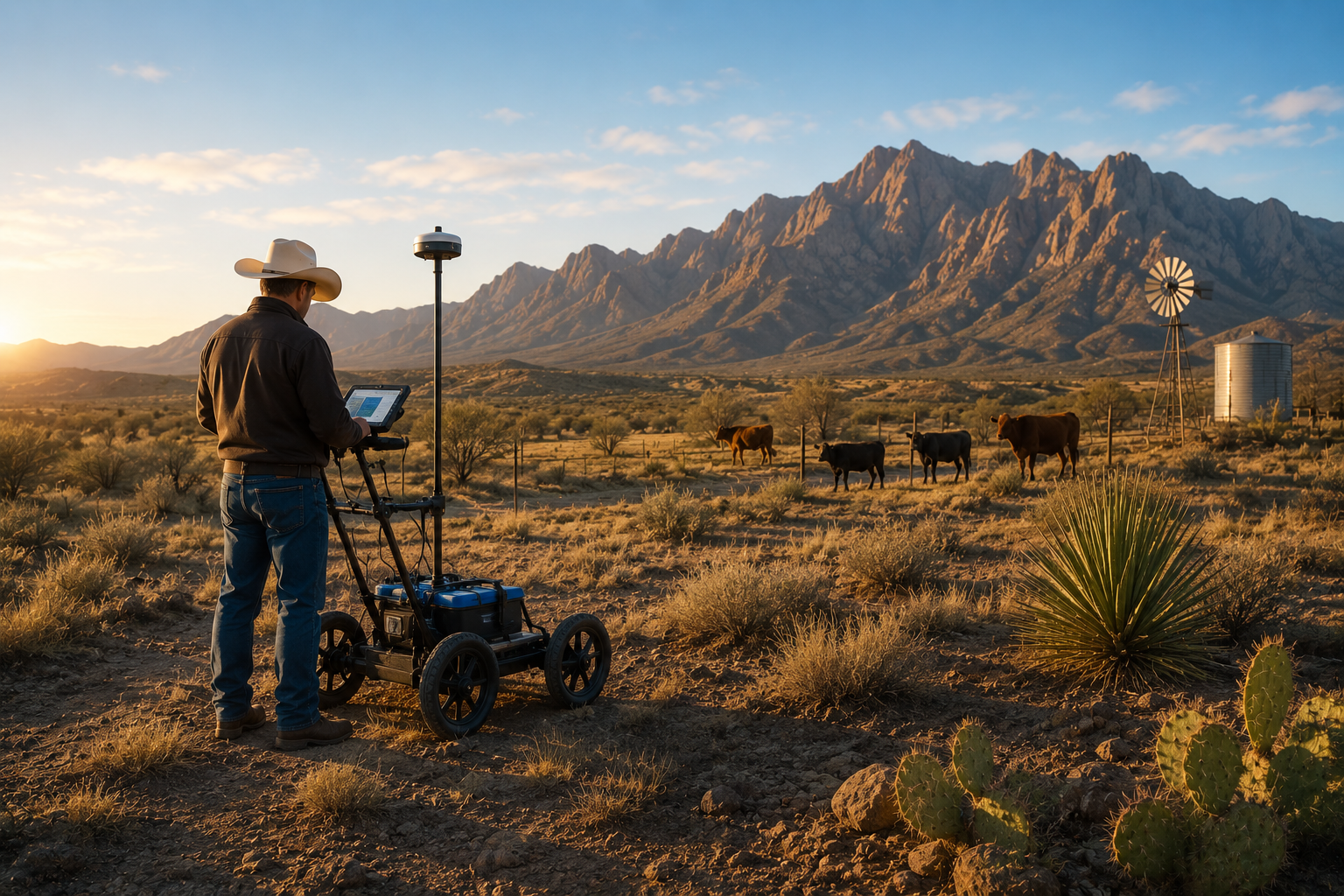
A field crew arrives at the ranch once the desktop study flags likely target zones, then runs passive seismic and gamma scintillation instruments directly over the pasture or fence line to confirm what the historical data suggested. This on-site work turns broad regional probability into a precise dig point. Skipping this step is what pushes ranchers into six-figure dry-hole territory.
The process follows a set sequence:
- Walk the flagged zones identified in the desktop study and confirm access with the landowner.
- Deploy resonant acoustic profiling equipment to read subsurface rock and fracture patterns.
- Run gamma scintillation radiometric analysis to detect mineral and moisture signatures tied to aquifer presence.
- Cross-reference field readings against the desktop model to narrow candidate depths.
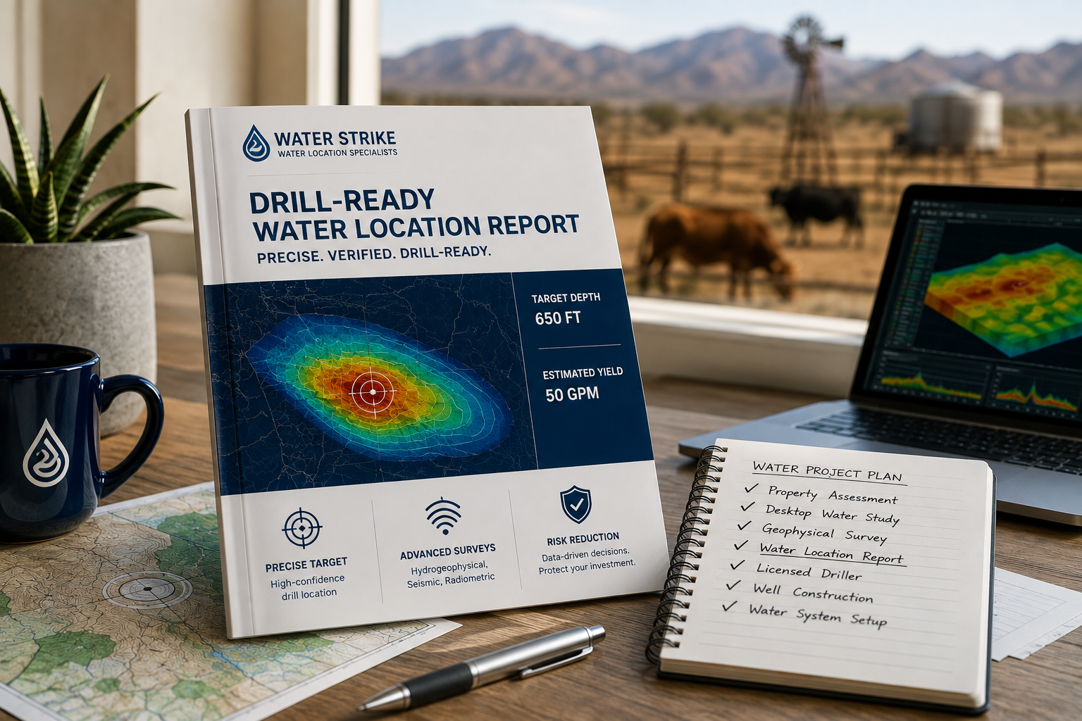
- Compile findings into a drill-ready Groundwater Assessment for Ranchers report, complete with target depth and yield estimates, before any drill rig is scheduled.
What Happens After the Survey Confirms a Target?
Confirmation triggers coordination with vetted, licensed drillers who move the operation from data to a working well. Ranchers avoid vetting unknown contractors on their own, since the survey team hands off a verified site with documented specifications.
Does State Data Support the On-Site Findings?
Arizona regulators are strengthening the data ranchers can lean on. The legislation requires the Arizona Department of Water Resources (ADWR) to conduct detailed, recurring water supply and demand assessments for all gro Ranchers gain regional context to compare against their own site-specific survey results, adding a second layer of confidence before drilling begins.

What Mistakes Derail A Ranch Water Search?
Three errors sink most ranch water searches in Arizona: drilling without geophysical data, ignoring livestock risk timelines, and skipping regulatory checks in un-designated basins. Each mistake compounds the others, turning a manageable water shortage into a financial and operational crisis.
Dry holes top the list. Landowners across Arizona have lost hundreds of thousands of dollars drilling wells with no scientific basis behind the target site. A groundwater assessment for ranchers replaces that gamble with measured data before the rig ever moves onto the property.
Why does waiting to test water sources put livestock at risk?
Delay carries a cost measured in herd size, not just dollars. Cattle have died or been sold off when ranch water sources ran dry mid-search, a loss no rancher recovers quickly.
Do Arizona wells require reporting even outside regulated cities?
Yes. Inside Irrigation Non-Expansion Areas, wells larger than small residential wells face metering requirements. Ranchers must report groundwater use annually, a rule many overlook until inspection.
A structured survey approach, backed by an a notable share+ drill-target success rate, turns these blind spots into planned, documented decisions.
Arizona ranchers facing persistent drought conditions now have access to science-backed groundwater assessment techniques that replace guesswork with geological certainty. Hydrogeophysical mapping, passive seismic surveys, and radiometric analysis work together to identify high-probability drill targets before equipment mobilizes. By prioritizing data over speculation, ranchers eliminate the financial and operational burden of dry wells, securing reliable water sources that sustain livestock operations and long-term land viability across the arid Southwest.