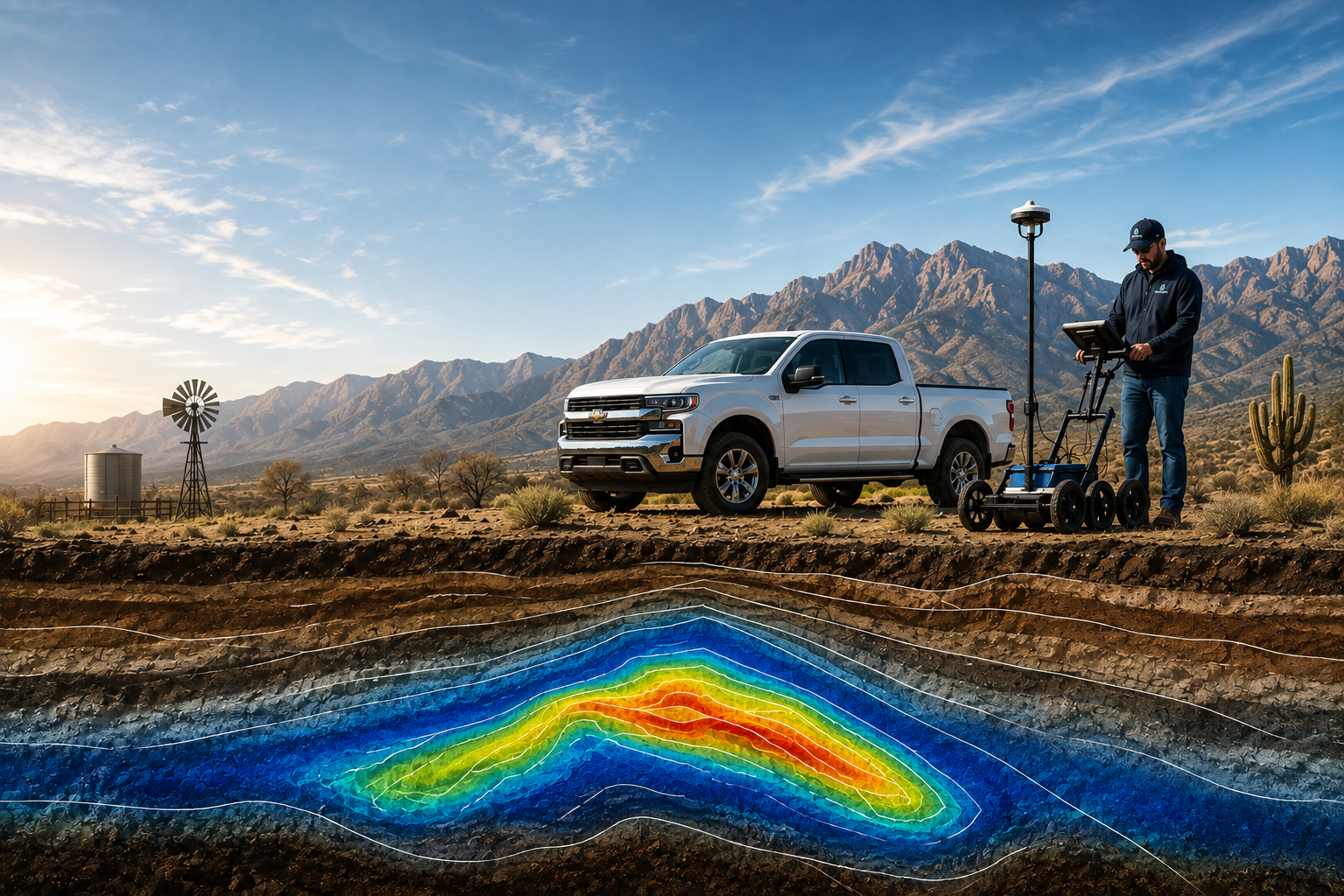
Hydrogeophysical Mapping Services for Groundwater Location
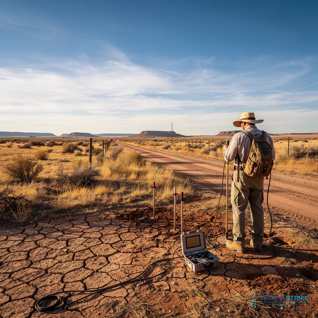
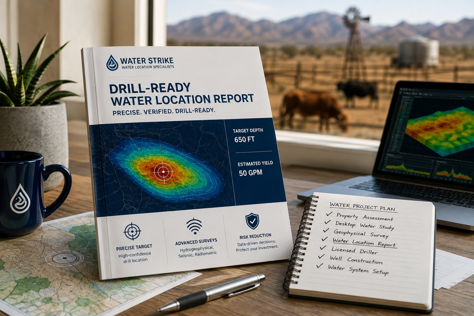
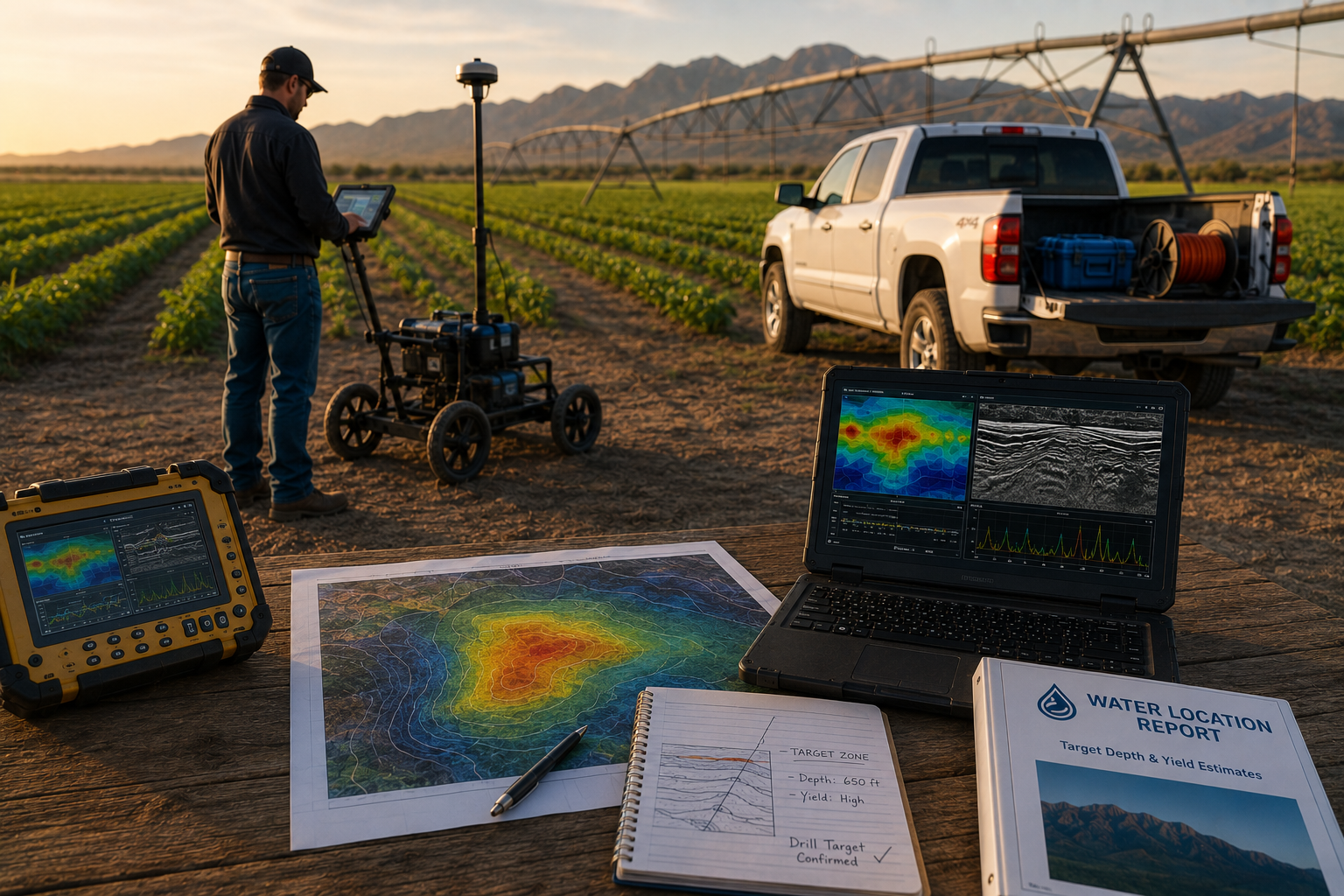
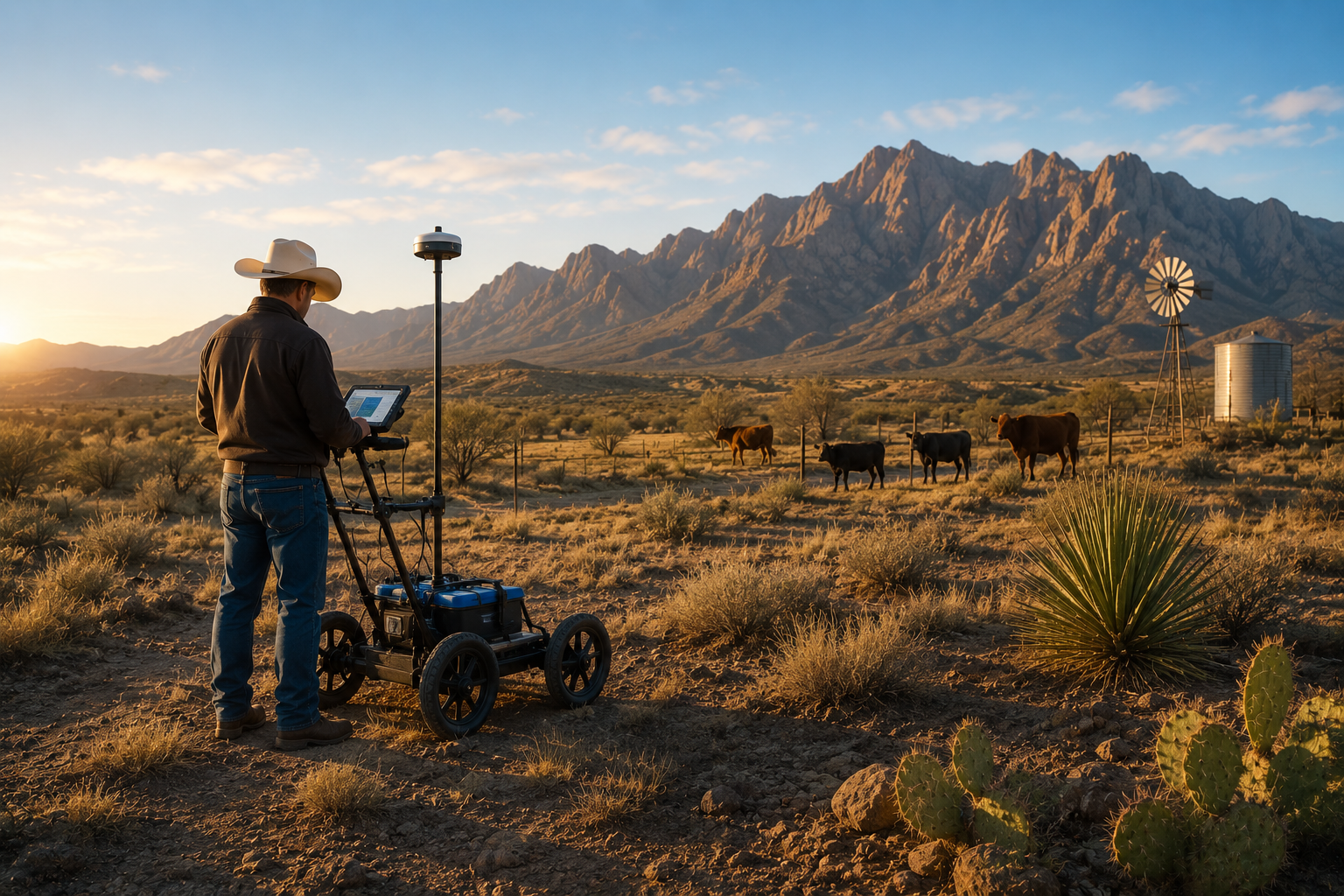
Hydrogeophysical mapping services locate groundwater by combining passive seismic surveys, gamma scintillation radiometric analysis, and hydro-geological data to pinpoint drill-ready targets before any drilling begins. Water Strike applies this science-based method across the Southwest, delivering an 80%+ drill-target success rate for ranchers, farmers, and golf course managers seeking reliable water sources without dry-hole risk.
Why Is Blind Drilling Draining Southwest Landowners?
Blind drilling drains Southwest landowners because it treats a scientific problem like a guessing game. Ranchers, farmers, and golf course operators across the region face the sharpest edge of water scarcity, and most still send a rig into the ground without confirming a target first. That gamble carries a steep price tag.
Wells drilled without geological evidence often come up dry — and dry holes aren't cheap. Landowners routinely lose hundreds of thousands of dollars on wells placed with no scientific basis behind the decision. That money disappears whether the hole produces water or not.
What does a dry well actually cost a landowner?
The financial damage extends past the drilling invoice. A failed well means lost time, a wasted rig mobilization, and zero return on the investment.
The operational fallout compounds the loss:
- Golf courses spend tens of thousands of dollars every month just to stay compliant under drought restrictions.
- Livestock operations watch cattle die or get sold off early when reliable water runs out.
- Farms face crop stress and yield loss while searching for a dependable source.
Hydrogeophysical mapping services replace the gamble with evidence, identifying where water actually sits before a rig ever moves. Guesswork built the crisis. Data solves it.
What Do Hydrogeophysical Mapping Services Involve?
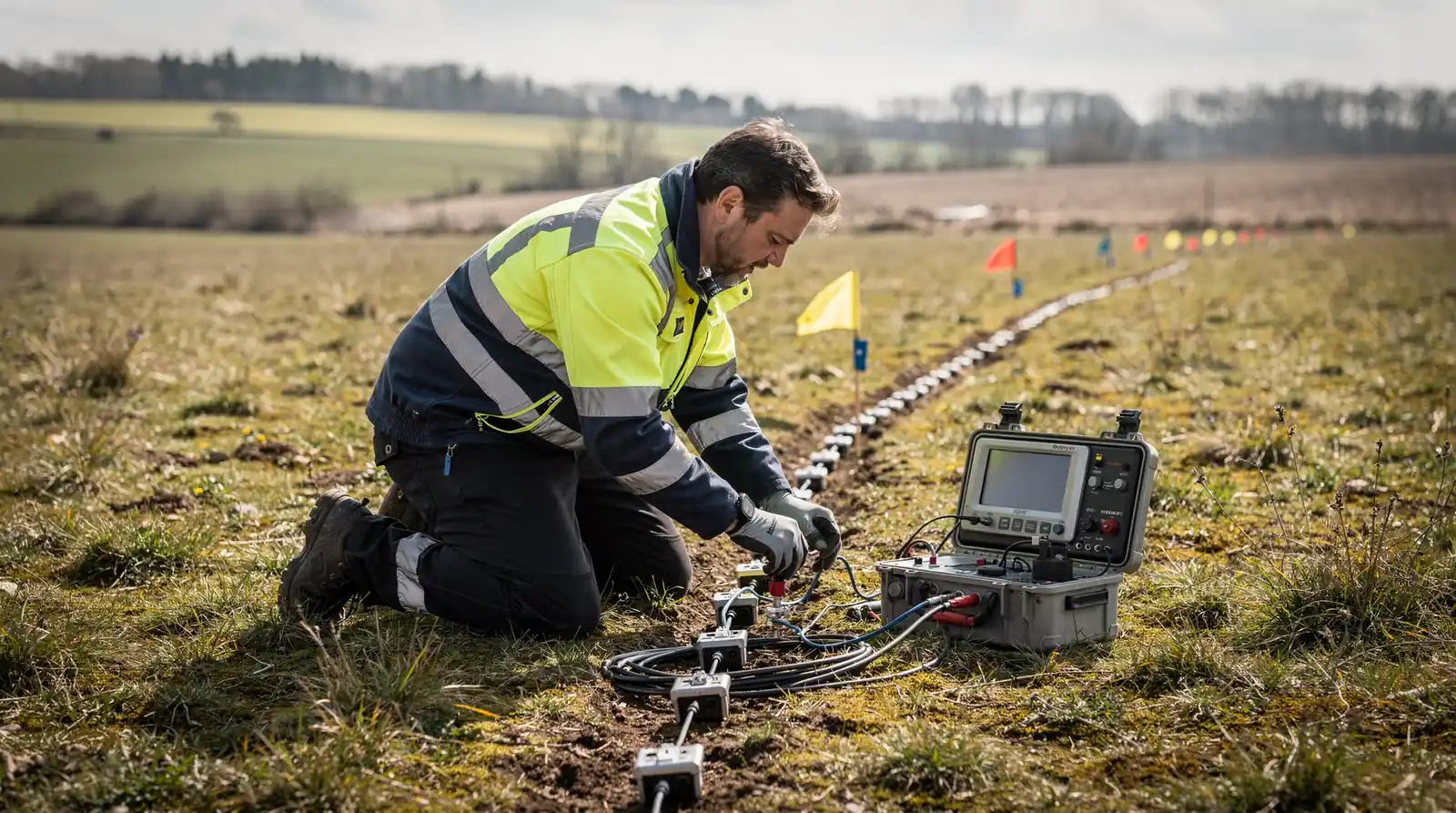
Hydrogeophysical mapping services locate water-bearing formations underground before any drill bit touches soil. The core principle is simple: know where to drill before drilling starts. That single shift in sequence separates a confirmed water source from a costly hole in the ground.
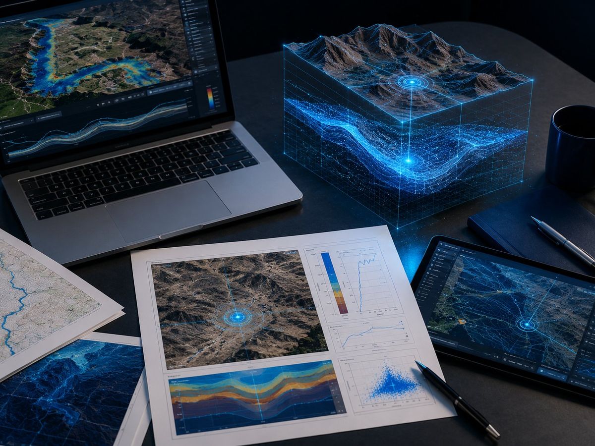
Traditional drilling only tells landowners what exists at one narrow point, straight down. Geophysical methods work differently. They build a full three-dimensional picture of the subsurface across an entire property, filling in the gaps between potential borehole locations rather than guessing blindly at a single spot.
Why does subsurface mapping reduce drilling risk?
A hydrogeophysical assessment sharply improves the odds of locating a viable aquifer while cutting the amount of test drilling required. Instead of drilling multiple exploratory holes and hoping one hits water, survey data narrows the search to the most promising target zones first.
What does the process actually measure?
Several geophysical methods work together to evaluate a site before equipment ever arrives:
- Subsurface rock and soil layering
- Depth to water-bearing zones
- Estimated well yield potential
- Water quality indicators tied to formation type
Sustainable water planning depends on this kind of subsurface insight, not surface impressions or hearsay about a neighbor's well. For ranchers, farmers, and municipal planners managing tight water budgets, that distinction determines whether a drilling investment pays off or drains resources with nothing to show for it.
How Reliable Are Hydrogeophysical Water Location Results?
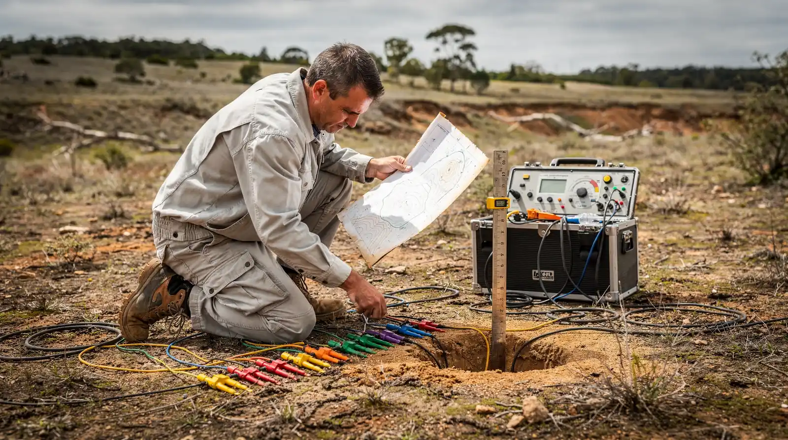
Water Strike reports an 80%+ success rate on drill targets identified through its [hydrogeophysical mapping services](https://waterstrikeusa.com). That figure reflects targets confirmed after survey, not blind drilling attempts. Reliability comes from physics, not luck. Subsurface layers behave in measurable, predictable ways, and modern survey methods read those signals with precision.
Resistivity surveys are a core part of that reliability. They reveal a groundwater aquifer as a clearly defined low-resistivity zone, sandwiched between dry surface soils and uneven bedrock found roughly 10 to 35 meters down. Ground-penetrating radar adds another layer of confidence, mapping bedrock topography and reservoir capability before any drill bit touches soil.
Does hydrogeophysical surveying guarantee a well will produce water?
No survey guarantees water where none exists underground. If water is present on a property, Water Strike positions its process as the landowner's best chance of finding it precisely. The guiding principle stays simple: don't drill until the location is known.
Why do results vary by property?
Aquifer depth, bedrock structure, and soil composition differ from ranch to ranch and field to field. These variables shape how resistivity and radar data get interpreted for each site.
Confidence factors across a hydrogeophysical survey:
- Layered resistivity contrast between soil and aquifer
- Radar-mapped bedrock topography and clay layer thickness
- Site-specific geology cross-checked against known aquifer behavior
- Pre-drill data replacing guesswork with a defined target
Hydrogeophysical mapping represents a fundamental shift in how landowners approach groundwater discovery across the Southwest. By replacing speculation with science—leveraging advanced surveying techniques and rigorous data analysis—this methodology delivers the certainty that traditional methods cannot. For ranchers, farmers, and municipalities facing intensifying water scarcity, the choice is clear: invest in proven exploration science before committing to the drill. Reliable water access begins with reliable location data.